Drones for Environmental Conservation: Key Roles and Benefits
In recent years, drone technology has transformed from a niche hobby into a pivotal tool in numerous sectors, including environmental monitoring and conservation. Drones, especially those equipped for drone photography, offer a unique perspective on natural landscapes, providing data that is invaluable for environmental scientists and conservationists. This blog post explores how drones are utilised in environmental efforts, detailing their applications and benefits to the field.
The Evolution of Drone Technology in Environmental Applications
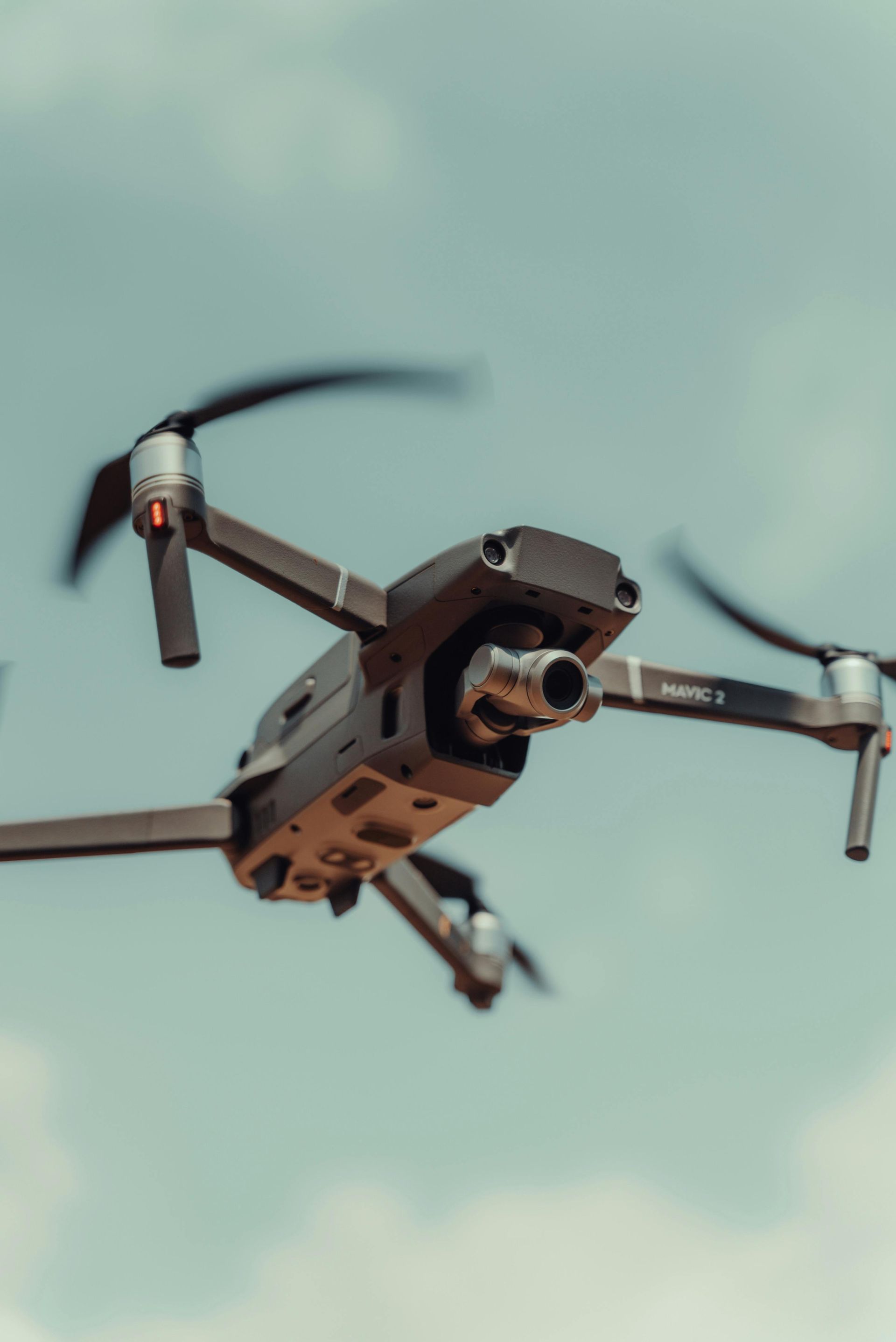
Drone technology has rapidly evolved, becoming more sophisticated and accessible. Initially used for simple
aerial photography, drones are now equipped with advanced sensors and cameras that can capture detailed images and gather crucial environmental data. These advancements have made drones an essential tool for environmentalists looking to monitor ecosystems and wildlife without disturbing their natural habitats.
Applications of Drones in Environmental Monitoring
1. Wildlife Research and Protection: Drones are employed to track, monitor, and study wildlife populations, especially in remote or inaccessible areas. They provide a bird's-eye view that is perfect for observing migratory patterns, nesting sites, and population counts without the risk of human interference that can stress animals.
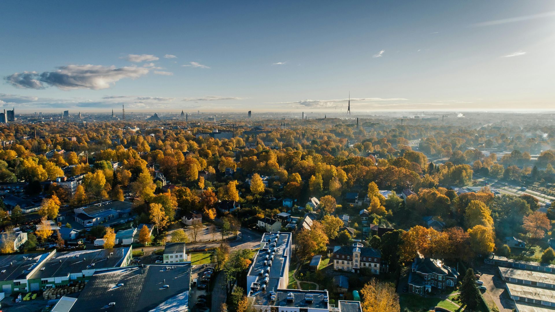
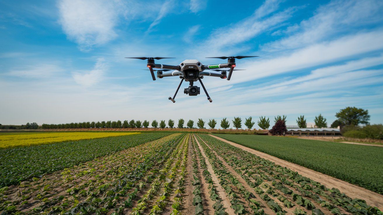
2. Vegetation and Habitat Analysis: High-resolution drone photography can identify changes in vegetation, assess plant health, and map vast tracts of land with precision. This information is critical for detecting illegal logging, encroachment, or changes in land use that could impact ecosystems.
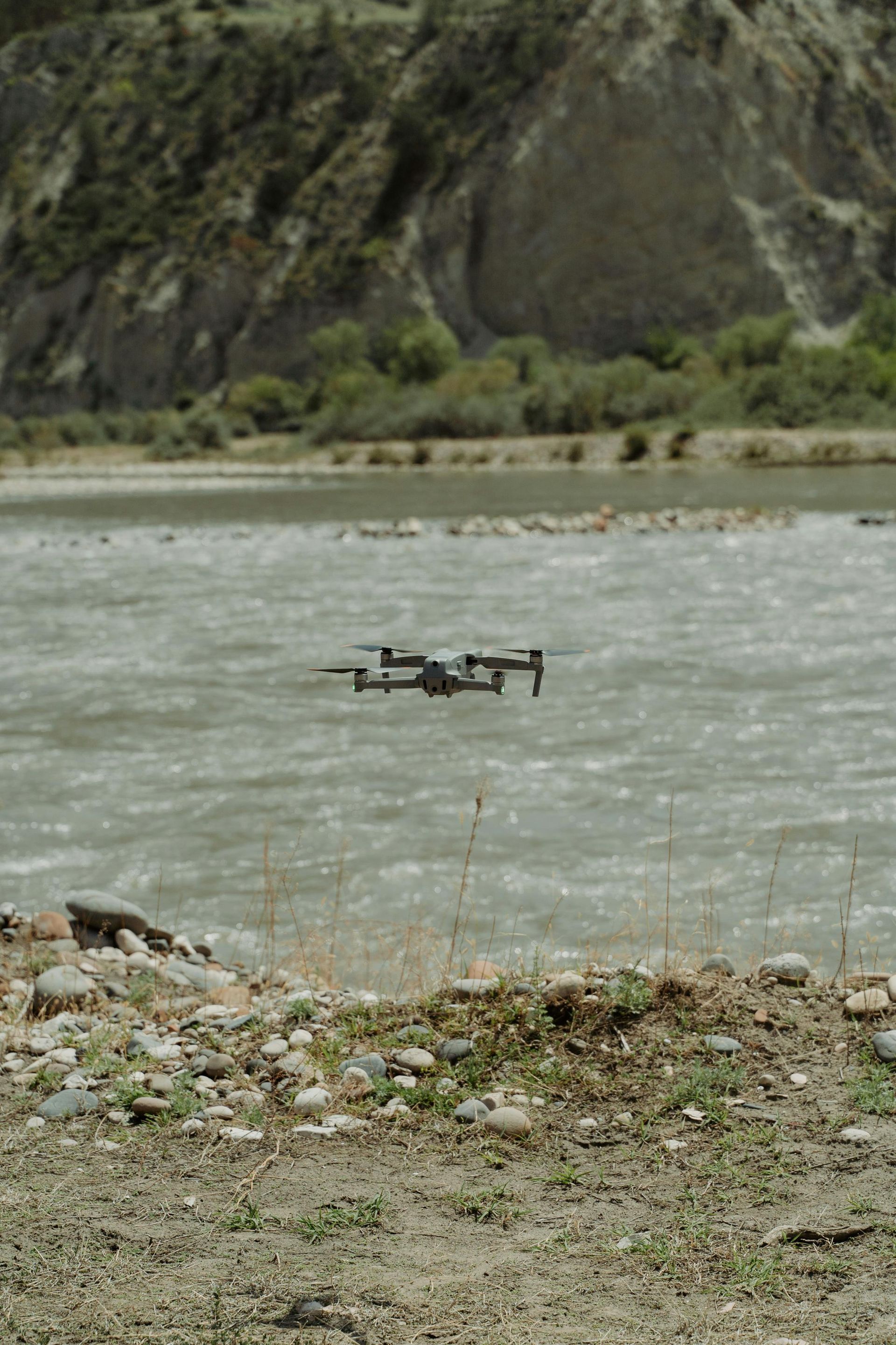
3. Water Conservation and Management: Drones assess water quality, map wetland areas, and manage coastal zones. They are crucial in monitoring water bodies for pollution levels, sedimentation, and other factors affecting water ecosystems.
4. Disaster Response and Recovery: In the aftermath of natural disasters such as floods, fires, or hurricanes, drones provide quick, detailed assessments of affected areas. This helps in planning effective responses and assessing damage to natural habitats, aiding in faster rehabilitation.
5. Climate Change Research: Drones collect data on weather conditions, greenhouse gas emissions, and changes in land use that contribute to climate modelling and studies on global warming impacts, offering insights that are otherwise challenging to obtain.
Benefits of Using Drones for Environmental Conservation
Drones offer several benefits over traditional methods of environmental monitoring:
- Reduced Physical Impact: Drones minimise human activity in sensitive ecosystems, reducing the disruption to wildlife and habitats.
- Cost Efficiency: They provide a cost-effective alternative to manned aircraft or on-ground surveys, especially in rugged or expansive terrains.
- Enhanced Data Accuracy: The high-quality aerial imagery and real-time data collection enhance the accuracy of environmental assessments and decision-making.
- Increased Safety: Drones can access hazardous or contaminated areas without risking human health or safety.
Challenges and Considerations
Despite their benefits, the use of drones in conservation comes with challenges:
- Regulatory Restrictions: Flying drones, particularly in protected or sensitive areas, often requires special permissions and adherence to regulations to protect privacy and ensure safety.
- Data Overload: Managing and analysing the vast amounts of data collected by drones can be overwhelming and requires sophisticated software and skilled personnel.
- Technical Limitations: Battery life, flying range, and payload capacities still limit the scope of drone operations in remote or extensive survey areas.
Drones are revolutionising environmental monitoring and conservation, providing essential data that supports sustainable practices and protective measures. Their ability to gather comprehensive data quickly and with minimal environmental impact makes them invaluable tools in the fight against ecological degradation and climate change.
For those looking to integrate drone technology into their environmental research or conservation efforts, choosing the right partner is crucial. Drone Photography Manchester is at the forefront of combining cutting-edge drone technology with expert photographic skills to offer unparalleled service. Whether it's monitoring wildlife or assessing post-disaster damage, our team ensures that you receive the highest quality data to support your environmental objectives. Choose us to ensure that your conservation efforts are enhanced by the best in drone technology and photographic excellence. Simply search "drone services near me" on the internet to find us!
Check out our latest GBP update about utilising drone
aerial photography for environmental conservations.