How Drone Mapping & 3D Modelling Improve Urban Development
Drones have transformed data collection and analysis, especially in urban planning and construction. Drone mapping and 3D modelling allow professionals to create highly accurate digital maps and models, improving efficiency and decision-making. By capturing detailed aerial images, drones provide valuable insights for architects, engineers, and developers, making planning and construction more precise.
How Drone Mapping Works
Drone mapping involves capturing multiple high-resolution drone photography and stitching them together using specialised software. With GPS technology, drones generate detailed topographical maps and 3D models, offering real-time insights into landscapes and infrastructure. This technology is essential for assessing terrain, monitoring construction progress, and identifying potential risks.
Key benefits of drone mapping:
- Real-time data collection for faster decision-making.
- Highly accurate measurements for improved planning.
- Cost-effective surveying compared to traditional methods.
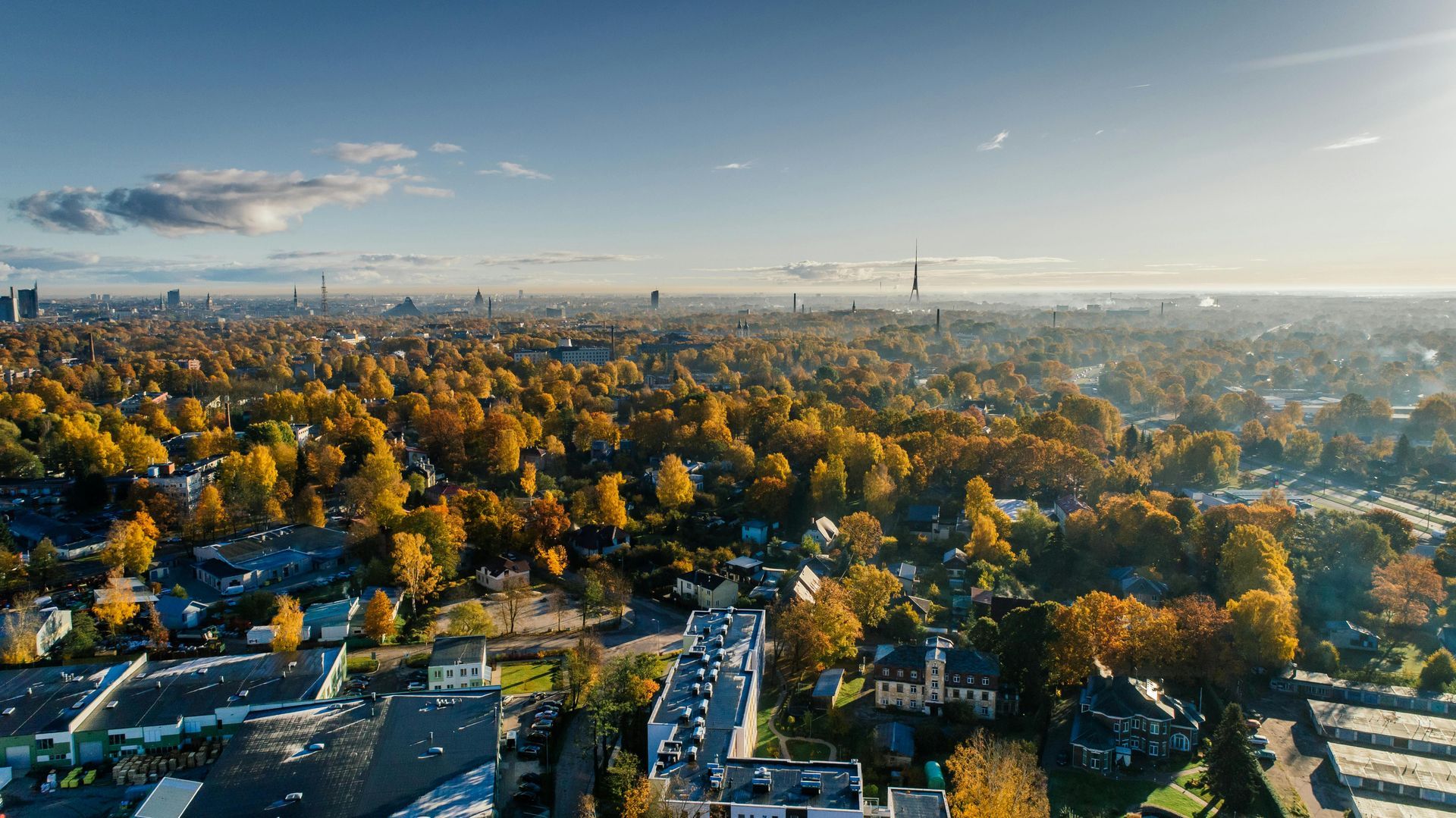
Applications in Urban Planning
Urban planners use drones to assess land use, infrastructure, and environmental impact. High-resolution aerial images help in zoning assessments, traffic flow analysis, and sustainable development planning. By providing a bird’s-eye view, drones assist in identifying the best locations for new developments and evaluating the effects of urban expansion.
Applications in Construction
Construction projects benefit significantly from drone mapping and 3D modelling, improving site analysis, project planning, and safety monitoring. Engineers and project managers use aerial data to track progress, manage resources, and detect structural issues early.
Advantages of drones in construction:
- Enhanced site planning with precise topographical data.
- Safer inspections by reducing the need for manual surveys.
- More efficient progress tracking through aerial monitoring.
The Role of Real Estate Drone Photography
Drones have become essential in real estate marketing. Real estate drone photography enhances property listings by providing potential buyers with aerial views of homes, commercial buildings, and surrounding areas. These high-quality images and videos showcase properties in a way that traditional photography cannot, making listings more attractive and informative.
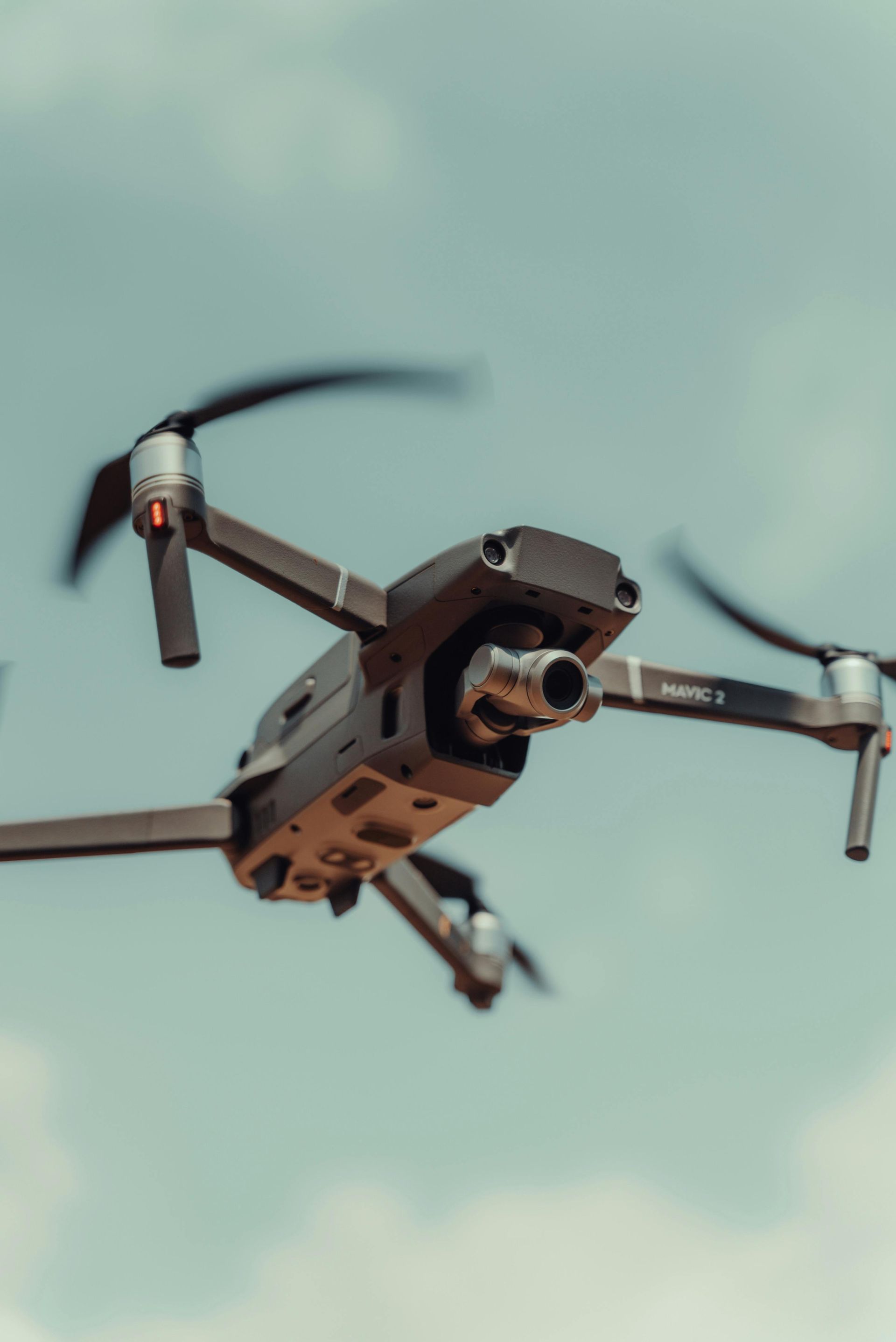
Choosing the Best Drone for Photography
Selecting the
best drone for photography depends on several factors, including camera quality, stabilisation, and flight capabilities. High-end drones with 4K cameras, gimbal stabilisers, and advanced obstacle avoidance ensure professional-quality images. Choosing the right drone improves aerial photography results for real estate, construction, or creative projects.
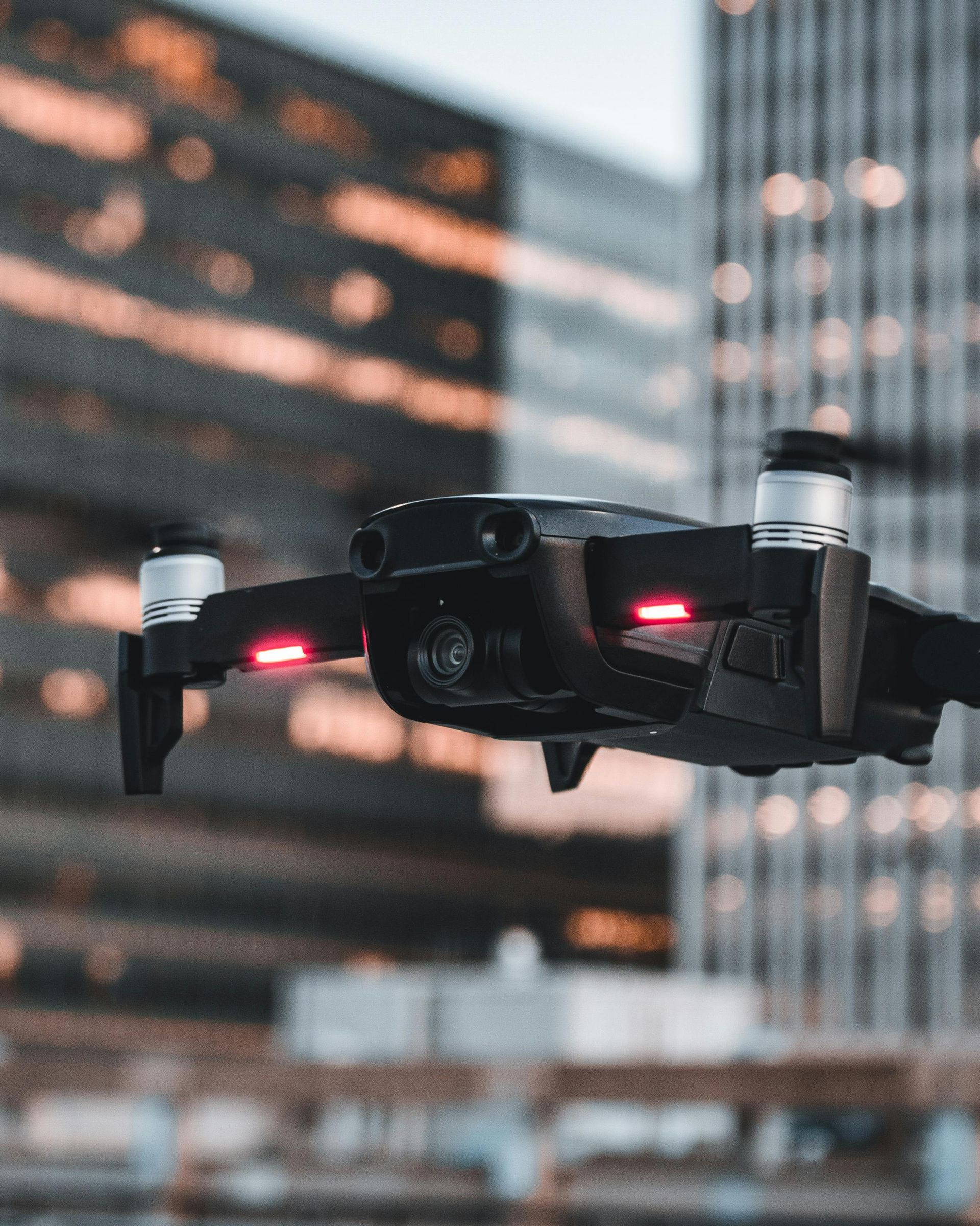
The Convenience of Drone Photography Near Me
Hiring a professional drone service ensures high-quality aerial imagery without investing in expensive equipment. Searching for drone photography near me connects individuals and businesses with skilled operators who understand the unique requirements of various industries. Professional drone services provide expertise, legal compliance, and high-resolution images for construction, marketing, and real estate projects.
Drone Filming for Various Industries
Aerial cinematography has transformed industries such as marketing, entertainment, and tourism. Drone videography creates dynamic promotional content, offering cinematic footage that captures landscapes, events, and architectural details from unique angles. This technology is widely used in tourism campaigns, social media marketing, and corporate videos.
Drone Inspection Services for Safety and Efficiency
Drones are a game-changer for infrastructure and asset inspections. Drone roof inspection services are widely used in construction, energy, and industrial sectors to assess buildings, bridges, and power lines. By capturing high-resolution images, drones help identify structural weaknesses, reduce risks and improve maintenance planning.
Key uses of drone inspections:
- Assessing difficult-to-reach structures such as rooftops and bridges.
- Minimising human risk in hazardous environments.
- Providing precise data for repair and maintenance planning.
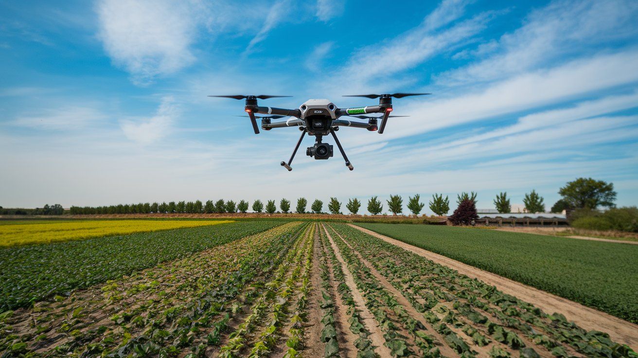
Aerial Photography in Different Sectors
Aerial imagery is widely used across agriculture, real estate, and marketing industries.
Drone photography provides high-resolution visuals for property showcases, farmland monitoring, and promotional content. Businesses and professionals use drone-captured images to enhance branding, project planning, and landscape analysis.
Drone mapping and 3D modelling are revolutionising urban planning and construction by providing detailed, real-time insights. These technologies enhance accuracy, improve efficiency, and support data-driven decision-making. Whether surveying land, monitoring construction progress, or creating marketing content, drones play a vital role in modern industries.
Drone Photography Manchester specialises in high-quality aerial imaging for industries including real estate, construction, and marketing. Our team uses cutting-edge drones to capture stunning visuals with precision and professionalism. With extensive experience and a commitment to customer satisfaction, we are the trusted choice for businesses and individuals seeking top-tier drone services.
Check our new X update about how drone photography mapping and 3D modelling enhance urban planning and construction!