Discovering Hidden Historical Sites Through Drone Photography
Archaeology, the study of human history and prehistory through the excavation of sites and the analysis of artefacts and other physical remains, has long been a meticulous and time-consuming field. Traditional methods of excavation and site analysis, while effective, often fall short when it comes to uncovering hidden or inaccessible sites. Enter
drone photography– a revolutionary technology transforming how archaeologists explore and document historical sites. In this blog post, we'll delve into how drone photography uncovers hidden historical treasures, making archaeology more efficient and comprehensive.
The Evolution of Archaeological Exploration
Historically, archaeologists relied on ground surveys,
aerial photography from planes, and satellite imagery to locate and document archaeological sites. These methods, while groundbreaking at the time, had their limitations. Ground surveys are time-consuming and labour-intensive, while aerial photography and satellite imagery, though providing a broader view, often lack the resolution and flexibility needed for detailed analysis.
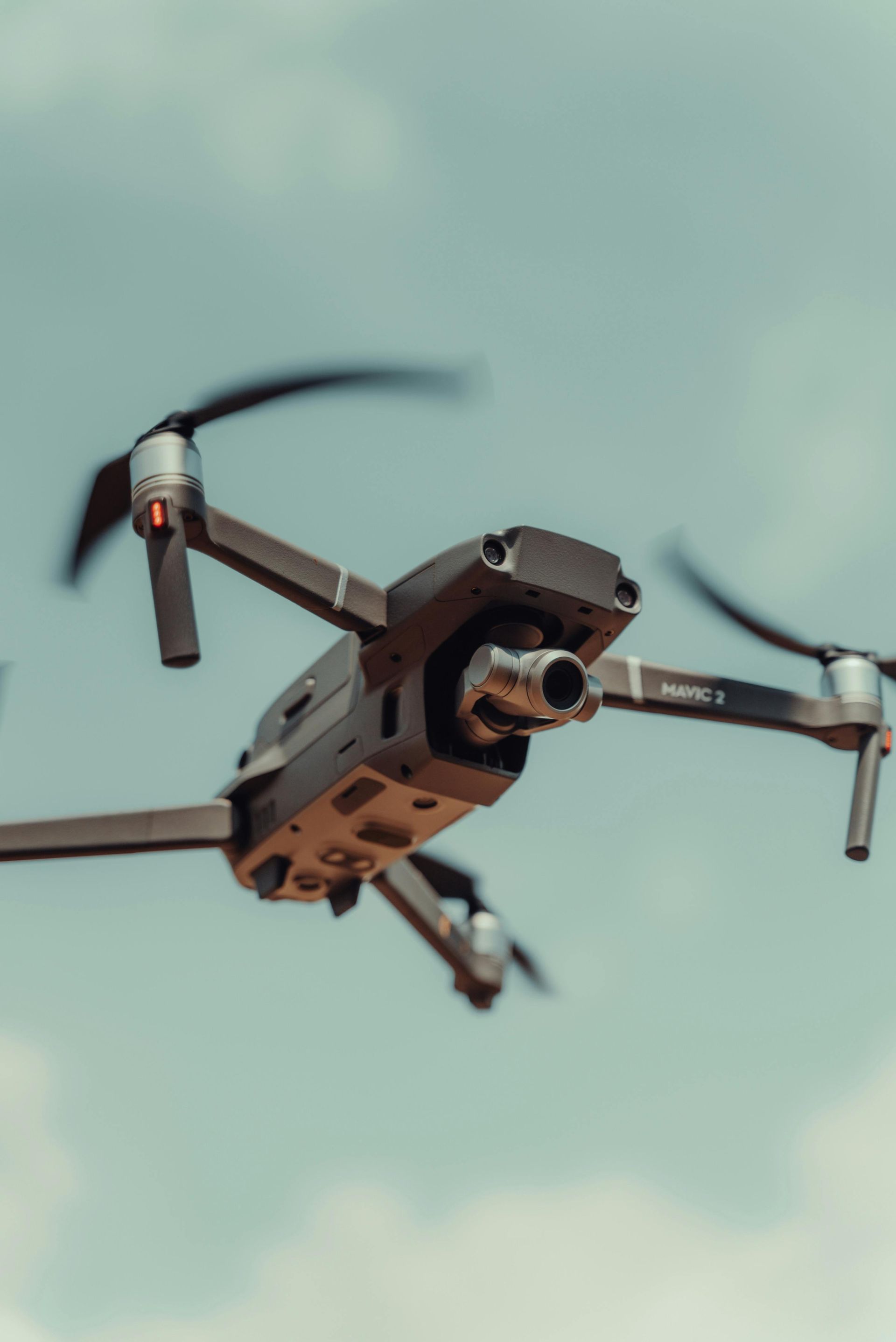
How Drone Photography Works
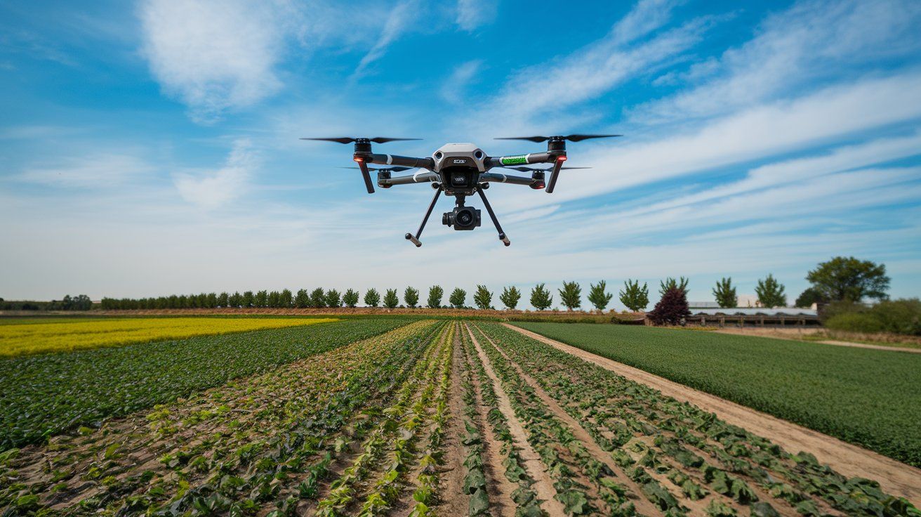
Drone photography involves using unmanned aerial vehicles (UAVs) equipped with high-resolution cameras to capture images and videos from above. These drones can fly at various altitudes, providing both wide-angle views of landscapes and close-up shots of specific areas. The data collected is then processed using photogrammetry software to create detailed maps, 3D models, and even virtual reality reconstructions of archaeological sites.
Advantages of Drone Photography in Archaeology
1. Enhanced Site Discovery: Drones can access remote and hard-to-reach areas, uncovering sites that might otherwise remain hidden. This is particularly useful in dense forests, mountainous regions, or areas with challenging terrain.
2. High-Resolution Imaging: Drone cameras can capture incredibly detailed images, allowing archaeologists to spot subtle changes in the landscape that might indicate the presence of buried structures or artefacts.
3. Cost-Effective: Compared to manned aircraft, drones are relatively inexpensive to operate. This cost-effectiveness makes them an attractive option for archaeological projects with limited budgets.
4. Time-Efficient: Drones can cover large areas quickly, significantly reducing the time required for site surveys. This allows archaeologists to gather more data in less time, speeding up the research process.
5. Non-Invasive: Traditional excavation can be destructive, potentially damaging the very artefacts archaeologists seek to study. Drone photography, on the other hand, is non-invasive, preserving the site for future research and exploration.
Case Studies: Drones Uncovering Hidden Historical Sites in the UK
Several notable archaeological discoveries have been made possible through drone aerial photography in the UK, including Manchester and other regions:
The Battle of Bosworth Field, Leicestershire
Drones have been instrumental in mapping and documenting the site of the Battle of Bosworth, a significant conflict in the Wars of the Roses. High-resolution aerial images have helped archaeologists identify previously unknown features of the battlefield, such as troop positions and camp locations, providing new insights into this historic event.
Hadrian's Wall, Northern England
This iconic Roman fortification has been extensively studied using drones. High-resolution images and 3D models generated by drones have revealed subtle changes in the landscape that indicate the presence of hidden Roman structures and roadways, enhancing our understanding of Roman Britain's infrastructure.
The Lost Gardens of Heligan, Cornwall
In Cornwall, drones have been used to rediscover and map the Lost Gardens of Heligan, one of the most popular botanical gardens in the UK. Aerial surveys have uncovered hidden garden structures and features that were overgrown and forgotten, helping to restore this historical site to its former glory.
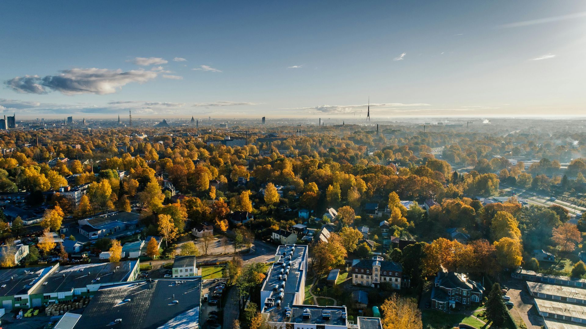
Industrial Archaeology in Manchester
In Manchester, drones have played a crucial role in documenting the remnants of the city's industrial past. High-resolution aerial photography has uncovered hidden features of old factories, mills, and warehouses, providing valuable data for historians and archaeologists studying the Industrial Revolution.
The Future of Archaeology with Drone Photography
As technology continues to advance, the role of drones in archaeology is set to expand even further. Future developments may include:
Enhanced Sensors: Drones equipped with multispectral and thermal sensors could detect variations in soil composition and temperature, indicating the presence of buried structures.
Artificial Intelligence: AI-powered drones could autonomously identify potential archaeological sites by analysing landscape patterns and anomalies.
Collaborative Research: Drones could facilitate greater collaboration between archaeologists worldwide, allowing for the sharing of high-resolution imagery and data in real time.
Integrating drone photography into archaeology is revolutionising the field, making it possible to discover and document historical sites with unprecedented accuracy and efficiency. This technology enhances our understanding of the past and ensures that hidden treasures are brought to light for future generations to study and appreciate.
When employing drone photography for archaeological exploration, Drone Photography Manchester stands out as the premier choice. Our team of experienced professionals uses state-of-the-art equipment to deliver high-quality aerial imagery and data tailored to meet the specific needs of archaeological projects. We understand the unique challenges of this field and are committed to providing solutions that are both innovative and reliable. Let us help you unlock the secrets of the past with precision and expertise.
Check out our latest GBP update about discovering hidden historical sites through drone photography.