Advanced Drone Surveying Techniques: Accuracy and Efficiency
In recent years, the field of land surveying has undergone a significant transformation, primarily driven by advancements in drone technology. Drone surveying offers a compelling blend of efficiency and precision, making it a preferred method for modern surveyors and companies worldwide. This blog post explores various drone surveying techniques that are redefining the standards for land surveys.
What is Drone Surveying?
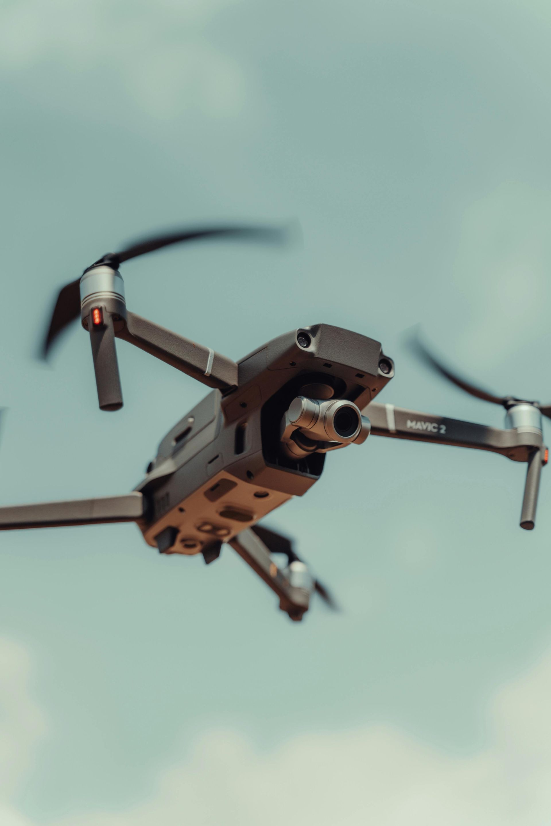
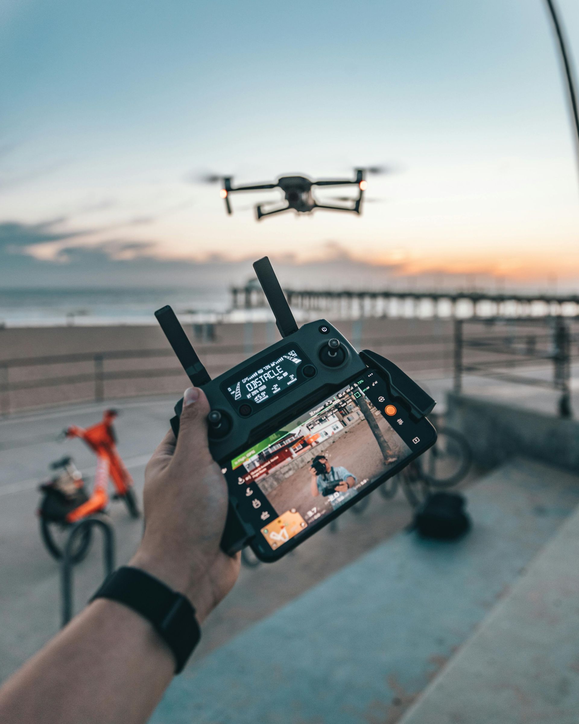
Drone surveying involves using unmanned aerial vehicles (UAVs), commonly known as drones, to capture data and imagery that can be used for mapping and measuring land. Unlike traditional methods that often involve manual labour and extensive time, drone surveying allows for quick data collection and highly accurate mapping from an aerial perspective.
Fundamental Techniques in Drone Surveying
1. Photogrammetry
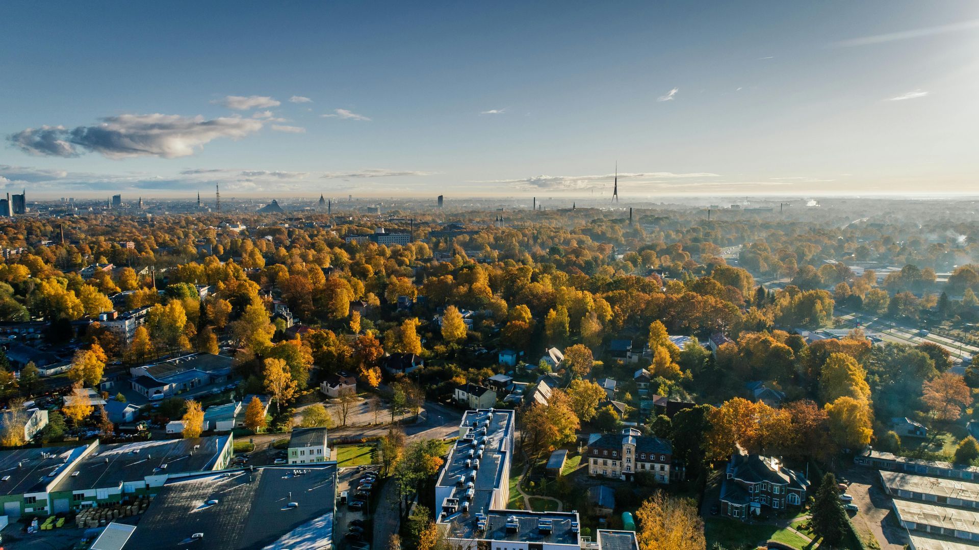
This technique uses photographs from drone photography to create maps and 3D models of the surveyed area. Drones with high-resolution cameras capture multiple images from various angles, allowing surveyors to process and stitch these images into a cohesive spatial dataset.
2. LiDAR Mapping
Light Detection and Ranging (LiDAR) uses laser light sensors on drones to measure the distance between the drone and the ground. This method is highly effective in penetrating vegetative cover to produce precise measurements of the earth's surface, and it is ideal for forestry management and urban planning.
3. Thermal Imaging
Drones equipped with thermal cameras can detect heat variations in the surveyed area, which is useful in environmental monitoring and utility mapping. This technique helps identify water leaks, thermal pollution, or building energy inefficiencies.
Applications of Drone Surveying in Various Industries
Construction and Real Estate
Drone surveys help in site planning and monitoring, providing regular updates for ongoing construction projects through rapid aerial photography.
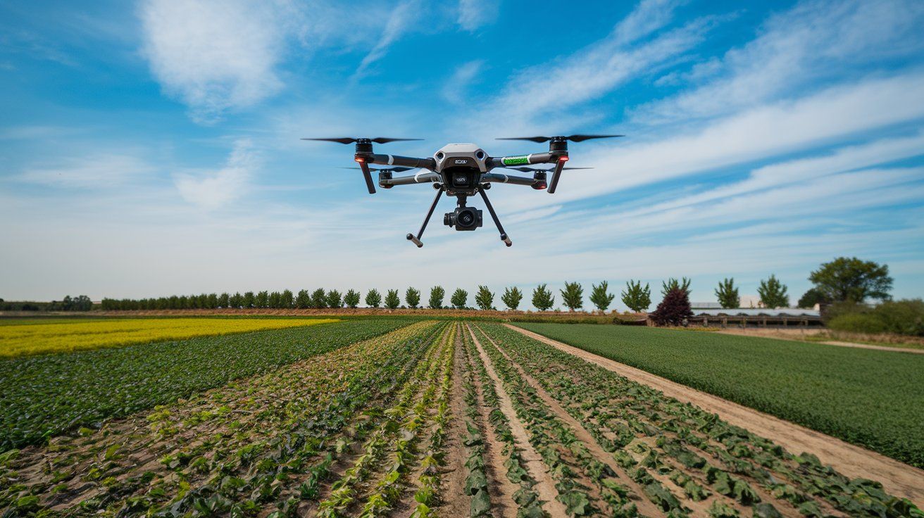
Agriculture
Farmers use drone surveying for crop monitoring, irrigation management, and soil health assessment, leveraging standard and multispectral imaging techniques.
Environmental Conservation
Drones play a crucial role in wildlife monitoring, habitat mapping, and tracking environmental changes over time, aiding conservation efforts with minimal human interference.
Advantages of Drone Surveying
- Enhanced Accuracy: Drones provide high-resolution images that lead to more accurate measurements and detailed maps.
- Time Efficiency: Large areas can be surveyed in a fraction of the time it takes with traditional methods.
- Cost Reduction: Drone operations often require fewer personnel and can reduce the overall cost of surveying projects.
- Safety: Drones can access difficult and hazardous terrains, ensuring the safety of survey crews.
Choosing the Right Drone Service Provider
When selecting a drone service provider, consider their expertise, equipment quality, and compliance with local regulations. Providers should offer a range of services, including
drone photography, tailored to meet specific project requirements.
The Future of Aerial Photography
The horizon for aerial photography is vast and promising. Technological innovations, such as AI integration and enhanced sensor technology, will lead to more sophisticated applications, from 3D mapping to autonomous flying cameras.
The integration of drones into surveying practices not only enhances the efficiency and accuracy of land surveys but also provides a flexible and safer alternative to traditional methods. For those looking to adopt this innovative approach, it is crucial to partner with a licensed and experienced aerial photographers.
Our team at Drone Photography Manchester is equipped with the latest in drone technology and staffed by professionals skilled in aerial photography and surveying. We understand the local landscape and regulatory environment, ensuring that your projects are completed efficiently and in compliance with all regulations. By leveraging our drone services, you can be confident that you're employing some of the most advanced surveying techniques available today, tailored to your needs, to ensure the best possible outcomes.Contact us today to discuss how we can assist with your surveying needs, ensuring that your projects are not only successful but also set a benchmark in precision and efficiency.
Check out our latest GBP update about
drone surveying techniques for efficient and accurate land surveys.